REIMAGINING THE PLANET
WITH ACTIVE EARTH INSIGHTS


From pixels to decisions — we transform satellite data into precise, actionable insight.

Scroll

Building an Intelligent Cognition Layer for the Planet

About Active Cognition Limited 丨iEarth Platform

Every observation unlocks new insight into a more intelligent planet.

Active Cognition Television Limited develops real-time Earth Intelligence systems.


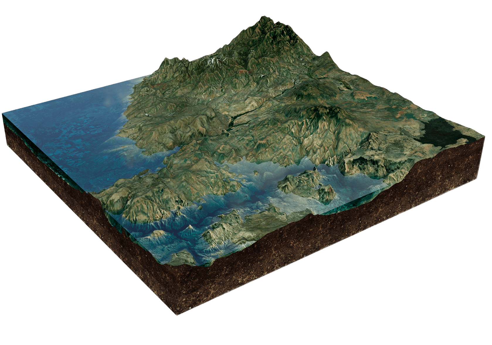
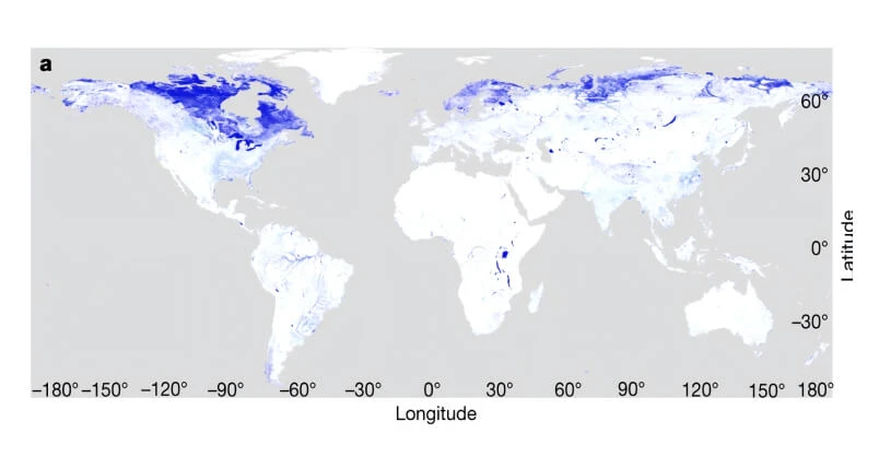
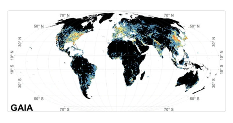
Our core platform, iEarth, transforms satellite data into precise, actionable insights. Engineered for global-scale deployment, iEarth combines proprietary algorithms with spatiotemporal foundation models to achieve up to 1,000× efficiency gains in storage and computation.

Pioneering Earth
Intelligence Breakthroughs

Advances that redefine how the we see the planet.

The first set of global 30 meter land cover mapping
Gong et al., 2013; Liu et al., 2021; Chen et al., 2025
The first set of global 30m impermeable layer mapping
Gong et al., 2020
The first set of global urban land use type mapping
Gong et al., 2018; Li et al., 2025
The first set of global 10 meter land cover mapping
Gong et al., 2019
The first global 500 meter daily water dynamic mapping system
Ji et al., 2019
Global Urban Building Height Mapping
Huang et al., 2022; Zhou et al., 2023
The first set of 3-meter global land cover mapping
Liu et al., 2021
Global 30 meter agricultural land mapping
Yu et al., 2019; Liao et al., 2025
The first set of near daily global wetland mapping
Yuan et al, 2025

iEarth Platform

From data vendors to earth intelligence

Multi-source Satellite
Observations
Physical Mechanism
Models
Time-series
Earth Data
Climate & Meteorological
Reanalysis
Areas indicated are not to scale and are for illustrative purposes only. Elevation data: SRTM data accessed via IEarth.
Key Features:
Key Features:
Combination - Multi-source Earth Data Fusion
Compression - Deep Embedding & Quantization
Comprehension - Knowledge Graphs & Online Reasoning
Cognition - Application-ready Earth Intelligence
Embeddings

Solutions

Agriculture
Field-level monitoring and predictive insights for crop production.
Early Warning & Risk Intelligence
High-frequency hazard monitoring and intelligent risk indicators for disaster preparedness and response.
In Carbon Intelligence & Energy Management
Satellite-supported monitoring for emissions and carbon assets.

Industry Partners & Strategic Collaborations

Backed by leading enterprises, accelerating real-world deployment.

Key Partner

Backed by industry leaders,proving real-world potential

01
02
03
With CATL: Zero-Carbon Innovation Collaboration

Exploring zero-carbon technologies and Earth intelligence applications across energy systems.Focusing on data-driven insights and innovation pathways for energy transition.

With Envision: Zero-Carbon Systems Collaboration

Exploring integrated carbon management and intelligent energy solutions. Starting from zero-carbon campus initiatives and serving as a reference model for replicable low-carbon systems.

With Suzhou Energy Group: Industrial Energy Collaboration

Exploring energy and carbon intelligence for industrial applications. Supporting data-driven insights across industrial parks and operational energy systems.

Designed by: